Iowa Civil War Monuments
Clay County
Dickens - Unknown Soldier Plaque - GPS Coordinates: 43.127767 by -95.016517
This nice memorial is in the Dickens Cemetery in Dickens. It was placed by the Community Club in 2005. The town is just east of Spencer on Highway 18. The cemetery is SE of town at Pine Street and South 1st Street and the memorial is on the far west edge of the cemetery. Thank you to Steve Hanken for the photo and notification of this unusual memorial to an unknown soldier.


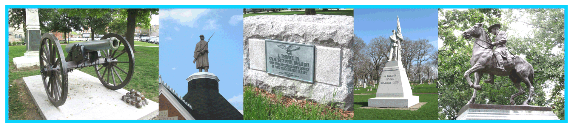
Peterson - Fort Peterson Blockhouse - GPS Coordinates: 42.917516 by -95.340943
A number of forts were built in NW Iowa in 1862 following the "Great Sioux Uprising" in Minnesota. The Northern Border Brigade was organized which kept able bodied men in Iowa and prevented them from going south to fight the Confederates. The threat of Indian attacks in Iowa did not materialize.
Fort Peterson was a triangle shaped fort with this blockhouse on one corner. It was eventually dismantled and later rebuilt as a residence with some changes in the original design. The gun ports are visible in these photos. There is also a plaque here at the actual site of the fort in Peterson. It is off Highway 10 at Second Street and Park Street just east of the business district. Photos taken 7/31/10.


Spencer - Civil War Soldier - GPS Coordinates: 43.143316 by -95.168400
This is an attractive monument at the entrance to the Riverside Cemetery. It is a 20 foot granite monument which was dedicated in 1915 by the WRC. It is on the west side of town - take W 4th Street from downtown to the cemetery. The first photo was taken 4/23/08. The second photo was taken 8/30/16. The final photo shows a re-dedication ceremony held 5/4/14 by members of the SUVCW Kinsman Camp.


