Iowa Civil War Monuments
Buchanan County
Fairbank - Civil War Monument - GPS Coordinates: 42.636633 by -92.045466
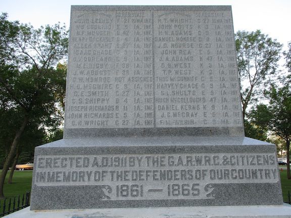
This is a nice monument in Veterans Park in Fairbank. It is granite about 6x6 feet on top of a stone base. Names of 56 soldiers are inscribed on both the north and south sides of the monument. The first photo is from the south - the second photo from the north. Also inscribed is "Erected A.D. 1911 by the GAR, WRC & Citizens in Memory of the Defenders of our Country 1861-1865." There is also a non-CW cannon about 9 feet in length. The park is in the SE part of town - take 5th Street south off Highway 281 to the monument. The first and third photos were taken 7/4/08 - the second photo on 6/3/21.


Hazelton - Civil War Soldier - GPS Coordinates: 42.603450 by -91.905376
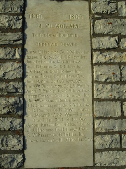
This is a 25 foot monument with a base of stone blocks. There are marble plaques on four sides that are somewhat difficult to read. The one on the north side is shown with 19 soldiers listed and inscription "1861 1865 In Memoriam To the Dead Buried in Unknown Graves." The east panel "Grand Army of Republic Erected by GAR Post No 63 1897." The south panel lists 25 soldiers. The west panel "Dedicated to the Citizen Soldiers and Sailors who Enlisted from Hazelton Township and Fought in the War of the Rebellion 1861 to 1865." 9 soldiers are listed on this panel. It is south of town off highway 150. Take 125th Street west to the cemetery. Photos taken 6/3/21

Independence - Edmund C. Little GAR Plot - GPS Coordinates: 42.463100 by -91.892217
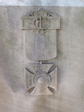
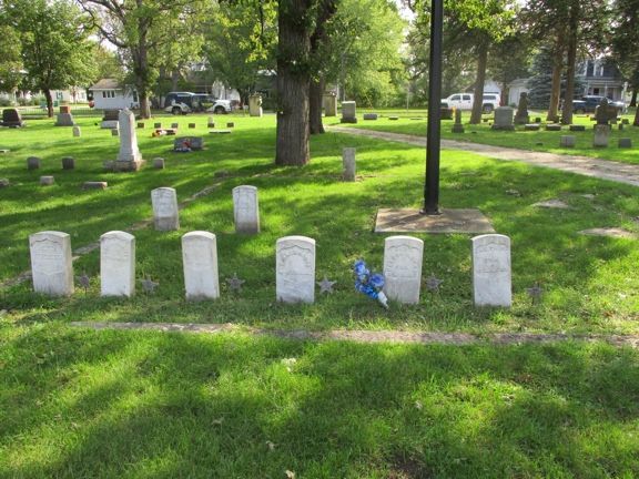
This burial plot is located in Oakwood Cemetery in Independence. While not really a monument, the plot is outlined by stones and has a number of Civil War Veterans buried there, including an unknown soldier. The new flagpole is in the center of the plot. Edmund C. Little was a member of Co. C, 9th Iowa Infantry Regiment. He enlisted as a Corporal and later was promoted to Captain. He was wounded at Vicksburg on May 22, 1863 and was discharged for wounds on February 3, 1864. Some sources show his date of birth as March 11, 1845 - if so, he would have been age 16 at enlistment and a few days short of his 18th birthday when he was promoted to Captain. The GAR Post in Independence was also named in his honor. He died in 1874. Oakwood Cemetery is on the south side of town on Highway 150 or 3rd Ave SE. Thank you to Leanne Harrison for this notification - she reports that a Memorial Day service is held here each year. Photos taken 9/17/20.

Jesup - Boulder/Plaque - GPS Coordinates: 42.478216 by -92.041333
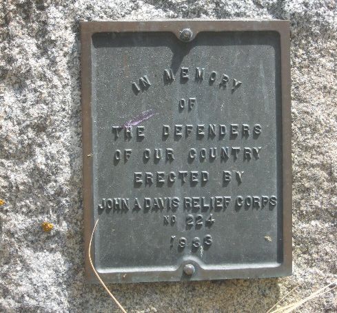
This Civil War plaque is on a small stone in Cedar Crest Cemetery. It is on the east side of town on 2128 Carter Avenue. You will pass a Catholic Cemetery before coming to Cedar Crest. The monument is located by the flagpole. Photos taken 7/4/08.

Lamont - Civil War Soldier - GPS Coordinates: 42.600533 by -91.642300
This is an impressive 25 foot soldier monument in the City Park in Lamont. Included is a plaque with names of soldiers from the region. Close to the monument is a very well maintained 105mm Howitzer, M101, a WWII era cannon. The park is in the center of town - the monument and cannon are near Bush and Pine Steets. The first 3 photos were taken 6/4/21 - the final 2 were taken 7/11/09.
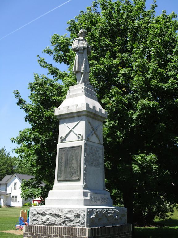

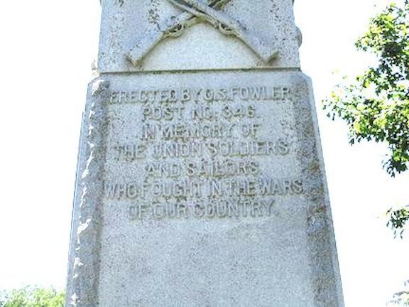
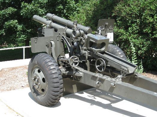
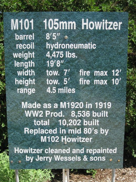
Lamont - Isaiah Harrington Memorial - GPS Coordinates: 42.592616 by -91.614883
This is a private memorial for Isaiah Harrington of Company K of the 28th New York Infantry Regiment. The monument is about 10 feet high. Campton-Oak Hill Cemetery is 1 1/2 miles east of Lamont on 135th Street. Photos taken 3/25/08.
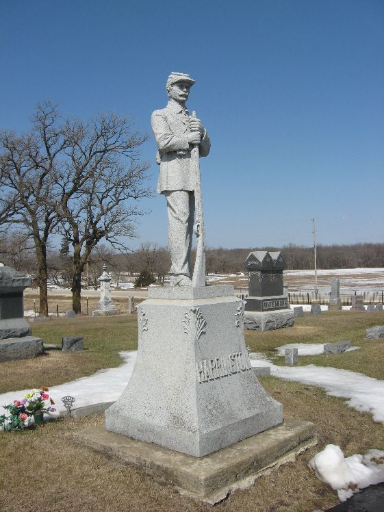

Quasqueton - Civil War Soldier - GPS Coordinates: 42.399350 by -91.761466
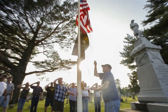
This 21 foot granite monument is in great condition. It was dedicated on Memorial Day, 1916 with many people attending the day long program. The cost of the monument was $1600. There continues to be a service each Memorial Day with the names of Veterans, including 66 CW Veterans, being read. The final photo, from the Cedar Rapids Gazette, shows the ceremony held on the 100th anniversary on Memorial Day, 2016. Thank you to Orlan Love for information about this monument. The cemetery is located on the north edge of town. The first photo was taken 3/25/08 - the second one on 9/17/20.


Winthrop - Stacked Arms with Mortar Shells - GPS Coordinates: 42.469050 by -91.741216
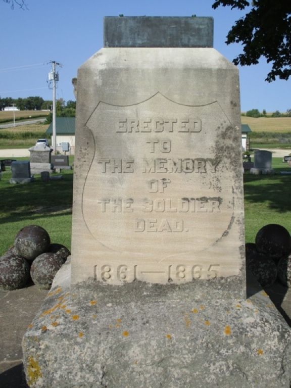
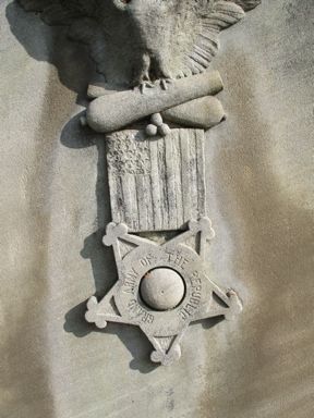
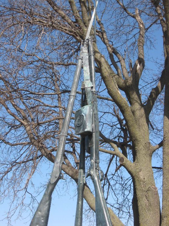
This monument in Fairview Cemetery formerly had 6 foot muskets - also with a belt, canteen, cartridge box, and scabbard. The first photo taken 9/17/20 shows that the stacked arms are missing. The second and third photos taken 3/25/08 includes the stacked arms. These were damaged by a fallen tree branch but hopefully can be repaired and restored to the monument. There are also five mortar shells located on each corner. The cemetery is on the SW side of town off 220th Street.

